Shown: 18 × 24 in · UnframedPreview is to relative scale
Plate Nº 014 · First edition
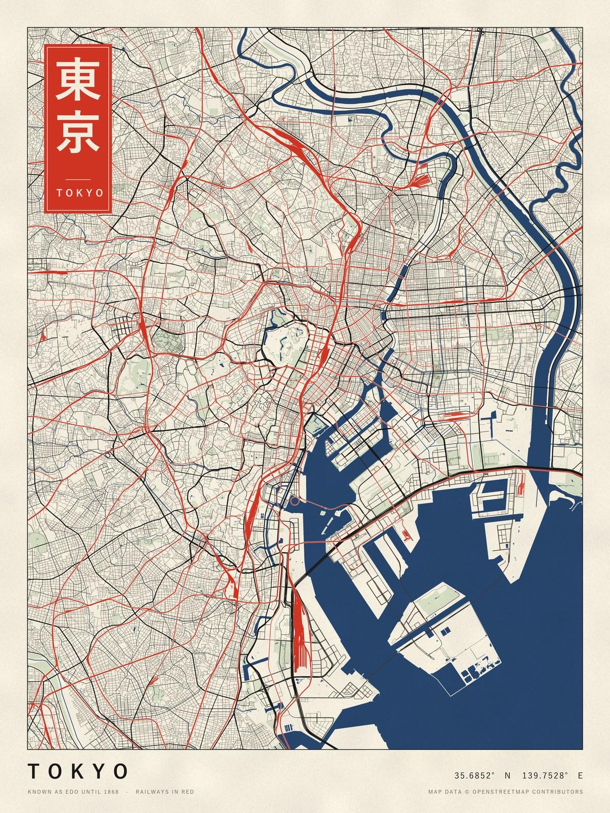
Tokyo
35.6852° N, 139.7528° E · Railways in red
Price to be set
The real thing
This one exists. Here are the facts.
- Coordinates
- 35.6852° N, 139.7528° E
- Formerly
- Edo, until 1868
- Railways
- Drawn in red
- Primary source
- Map data © OpenStreetMap contributors
- Printing
- Made to order, one at a time
Why I made this series
Every line on these maps is a real street. No artist decided where they go; a few hundred years of people did. I just gave each city the ink it deserves.